Monterey County and its tourism bureau, See Monterey, have partnered to create a bad-weather safety and activity guide for visitors, the Monterey Herald reported Oct. 31.
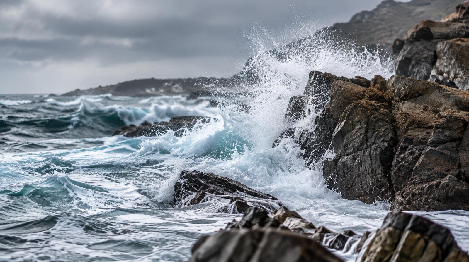
The guide arrives as an extreme El Niño event batters the California coast. Ocean temperatures have reached record highs along the entire coastline, and coastal flooding has damaged structures from the San Francisco Bay Area to San Diego, according to Weather West. The meteorology site reported that southern California ocean water levels reached their highest heights ever recorded in any month, while parts of northern California exceeded at least October monthly records.
The flooding has occurred despite sunny skies and light winds. Weather West attributed the record-breaking coastal water levels primarily to thermal expansion of seawater combined with a near-shore water "bulge," both driven by the El Niño event.
El Niño is expected to intensify further into November and December, Weather West reported. The greatest coastal flood risk runs from late November through late January, with the greatest inland flood risk from December through March.
Tourism is the top industry on the Monterey Peninsula, according to See Monterey's Path to 2030 report. In coverage published in September, Monterey County Now reported that visitor spending rose 4% to $3.3 billion, with tax revenue to local jurisdictions climbing 6% to about $346 million. Tourism supported about 27,760 jobs.
See Monterey President and CEO Rob O'Keefe acknowledged the looming El Niño as a challenge at the bureau's annual meeting. In the September Monterey County Now coverage, O'Keefe said, "We have to be versatile, adaptable, agile and adapt."
The Path to 2030 report identifies crisis management as a key priority, calling for See Monterey to connect the hospitality sector and residents with resources and information on when, where and how to travel during natural disasters.
Details on the visitor guide's format, contents and release date were not included in the Herald's report.